Geology rocks. Pun very much intended. Now that we’ve got that out of the way, let’s move on to the hardcore things that make up the bedrock of what Bored Panda is all about — beautiful pictures that are hot as lava. Please excuse my dad jokes.
A geologist named Will is known for collecting and uploading amazing shots he finds on Google Earth. Some of them are very peculiar. Others are breathtakingly gorgeous. But one thing is for certain — all of them are worth seeing. Scroll through our list of Will’s amazing discoveries, upvote your favorites, and rock on. Let us know what you think of the geologist’s pictures, and after you’re done, look through Bored Panda’s other list of amazing Google Earth finds.
google earth map
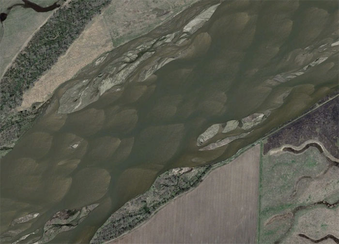
Image credits: geologistsmakethebedrock
This is another collection of interesting things I found while exploring Google Earth.
The Platte River in Nebraska (USA). The mid-channel bars are clearly visible here. There is some old saying about this river that goes something like, “1 mile wide and 1 foot deep.” Or something like that.
google earth map
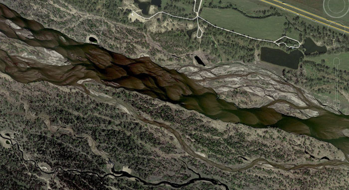
Image credits: geologistsmakethebedrock
Here is the Platte River again with some clearer water. It’s such a pretty braided river.
google earth map
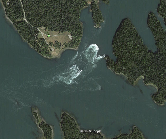
Image credits: geologistsmakethebedrock
The Bay of Fundy has the largest tidal ranges in the world. We can clearly see the tidal currents at work here.
google earth map
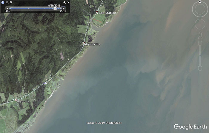
Image credits: geologistsmakethebedrock
Still the Bay of Fundy, this time at high tide.
google earth map
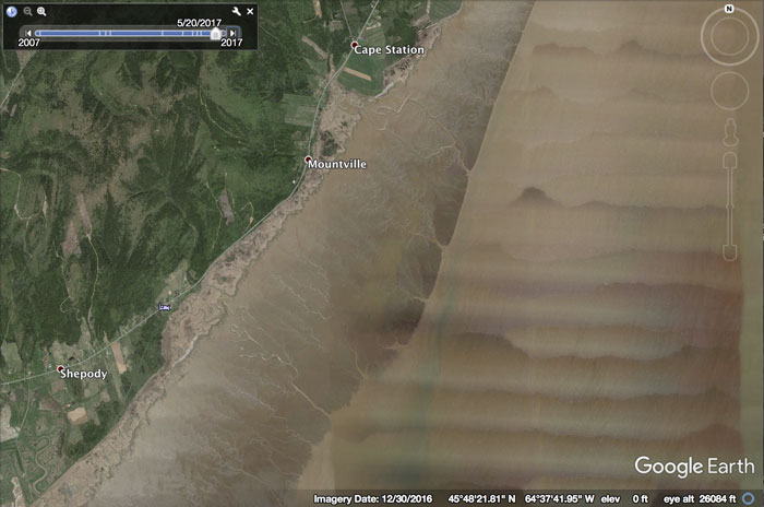
Image credits: geologistsmakethebedrock
Here we are at low tide. I forgot to add a scale, but you can imagine how long that mud flat is.
google earth map
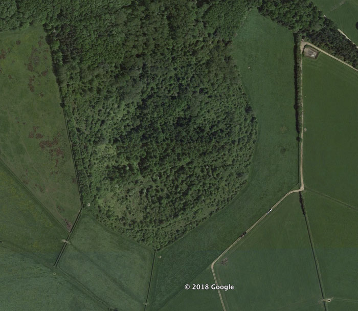
Image credits: geologistsmakethebedrock
The circular feature here currently a slight depression. That depression is the only evidence for the largest domestic explosion in the UK’s history. At least I think this is it. I was lead to the area by some info from an old forum.
google earth map
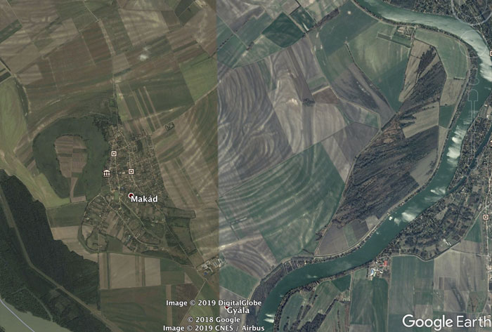
Image credits: geologistsmakethebedrock
This is the flood plain of the Danube River in Hungary. We can see an old oxbow lake W of Makad and lots of evidence of past natural levees (all the swirly lines).
google earth map
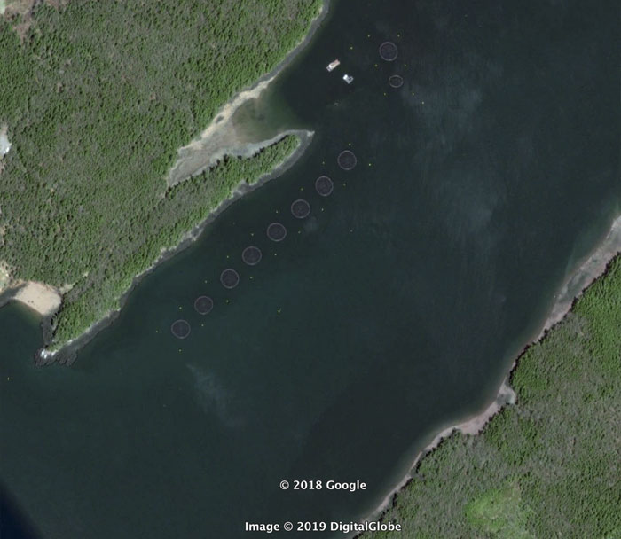
Image credits: geologistsmakethebedrock
Back to the Bay of Fundy. I’m guessing these are enclosures for fish farming.
google earth map
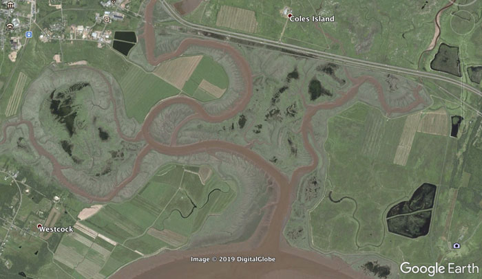
Image credits: geologistsmakethebedrock
A sweet tidal channel.
google earth map
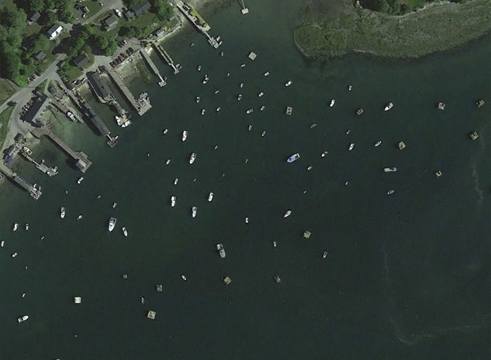
Image credits: geologistsmakethebedrock
Lobster boats moored at a small cove in Maine (USA).


0 Yorumlar